This sounding from the NAM at about noon Monday right around Sherman Texas looks pretty good. Pretty steep laps rates and surface dew point of almost 20 C (around 65 F). Also, wind shear seems to have improved with this run of the model with 0-500mb shear of around 35 kts across the Red River Valley area.
 However, at this point the best lift is right over top of the metroplex and there is no capping inversion to help hold of convection for later in the day. See the Vertical Velocity over the metroplex at 18z. By about 00z, or 7pm most of the lift has moved off into Oklahoma, with even more lift showing up in Central and Southern Texas. We still have some minor lift over the area, but if surface instability has already been exhausted at this point than it won't do us much good.
So, the problem now seems to mainly be the time of day. If storms do linger or develop later in the day I or some of us may go chasing. But, if things blow through too quickly that isn't going to happen. I hope that something will linger after dark Monday evening so that we can grab some lightning, but that might be too much to ask for at this point.
A note about Sunday...
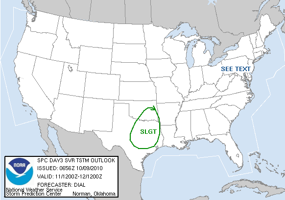
Sundays activity seems to be limited by a lack of good surface moisture mainly, though the Storm Prediction Center does have a slight risk over Northwest Texas and Western Oklahoma. It will be interesting to see whether or not anything comes of that.
No comments:
Post a Comment